Part of the Gun Rocks funding was earmarked to increase the knowledge of archaeological survey techniques for club members. Although some members already had some Nautical Archaeological Society training, many didn’t and we chose the BSAC Wreck Appreciation course as a good starting point. While this course focusses on wrecks where there is a recognisable vessel and not just cannon, the basic techniques for mapping and recording the artefacts are the same.

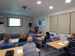
The course consists of a day of theory and dry practical lessons, followed by a day of diving and putting the techniques into practise on a suitable wreck. We spent Saturday 19th August hidden away in the lecture room of the Diving Centre in Boldon; learning all about how to locate wrecks, what we should expect to find and how parts of the wreck should fit together, what law governs activity on wrecks, and how to conduct a practical survey. After many hours discussing kit configurations, and practising how to use tape measures and distance lines in silence, we felt prepared enough to venture into the water the next day.

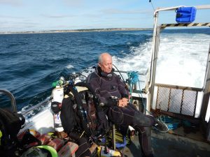
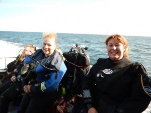
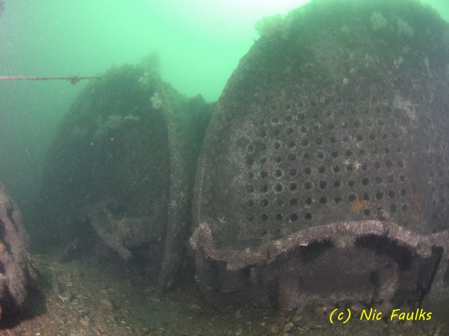
Sunday 20th turned out to be a good day for diving: a slight breeze and a bit of sun. Boarding Spellbinder, we set off out of the Tyne, heading for our target wreck: the Lonclara. PLA Hopper No 20 was a Port of London Authority hopper barge, which was converted to a cargo steamer and renamed the Lonclara in 1916. On 4th January 1917 it hit a mine laid by UC-31 and sank off Hendon Rock (Sunderland) with the loss of 4 lives. It now lies in 2 parts in a minimum depth of 15 metres; and we chose to dive the stern section, where the boilers, engine block, propeller shaft, propeller and rudder are all still easily recognisable.
The 2 survey teams jumped in, and spent dive 1 working out how the wreck was lying, where each part was in relation to the next, sketching the sit, and considering how best to accurately map and measure a section of the site. After a surface interval spent drawing plans for the measuring phase, and working out how best to carry the collection of tapes, lines, slates and weights; the 2 teams were ready for the real work.

A little after slack, there was a greater depth and a bit more current this time, but there followed 45 minutes of frantic line laying, measuring and recording; with each team taking a different part of the wreck. Back on board Spellbinder, the usual Spellbinder lunch of chicken curry and rice disappeared quickly as we headed back to the Tyne and the 2 teams each compiled their plans; which conveniently overlapped. Success! With some adjustment to the scale, the 2 plans matched up where they were meant to, and we had the start of an accurate plan of the site; it takes more than 2 dives to map a whole site, but we had shown the techniques worked and would have produced a plan of the entire site over a series of dives.
Whilst we won’t be mapping a ‘normal’ wreck on Gun Rocks, the techniques learned will be ideal to assist in accurately mapping the locations of all the cannon on the site.
